In order to enter photography contests, you need to take more cool drone shots obviously ? One way to find good drone spots is Google Earth. Not Google Maps, but Google Earth, which is a separate map tool which you can use in 3D !!
And this 3D ability makes it really great to scout the terrain. Because drone photos tend to work best when there is a big difference in height, such as with mountains, cliffs or high buildings/towers etc … With Google Earth you’ll be able to judge the terrain in 3D, even before you go there! ?
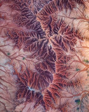
On top of that the resolution used is also much higher than in Google Maps. This means you can see a lot more details on the surface, to spot cool topdown patterns for example.
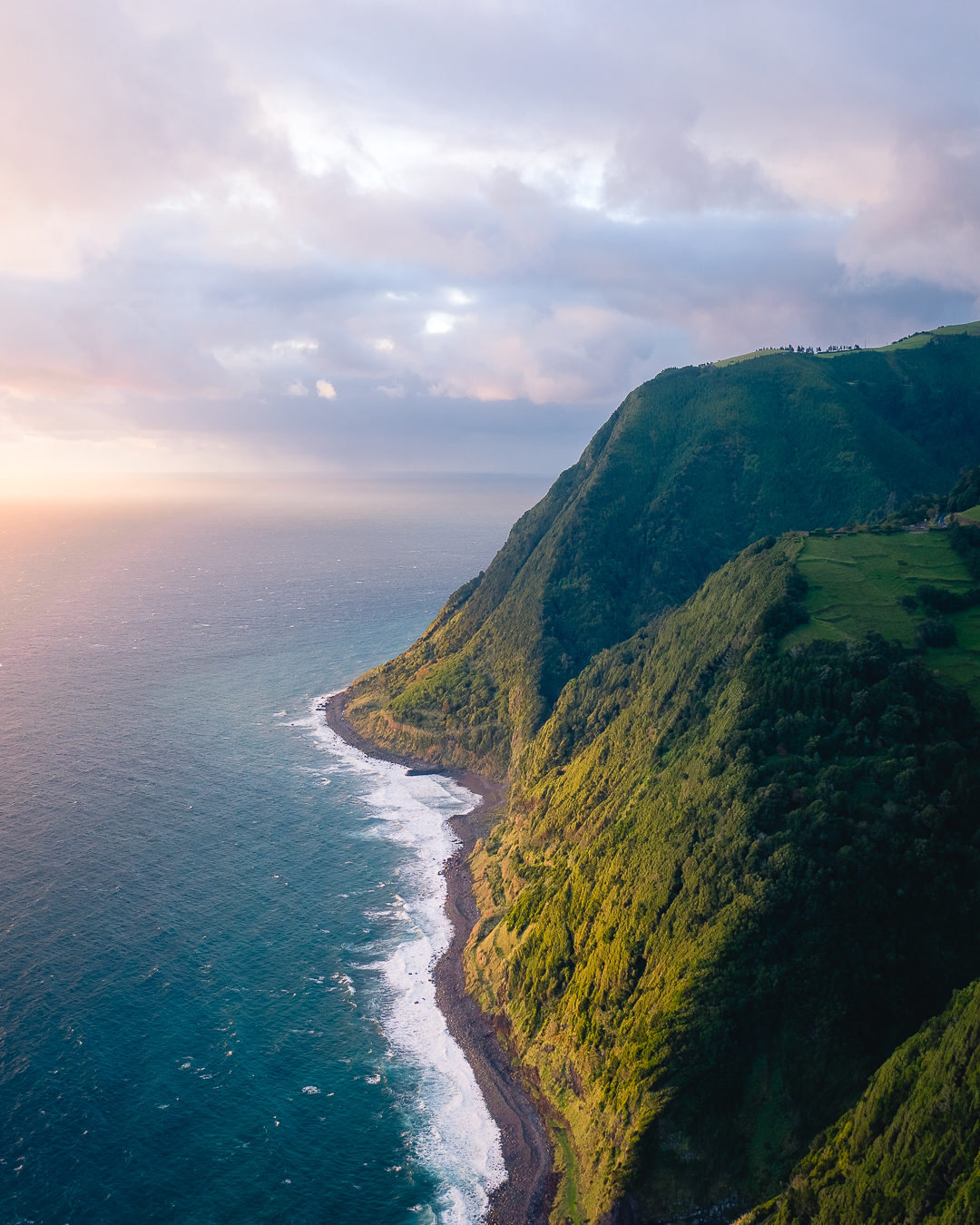
Here’s a drone photo I took on the East coast of São Miguel island. It was a moody sunrise, hidden behind lots of clouds. I launched my drone from one of the viewpoints just below the photo frame.

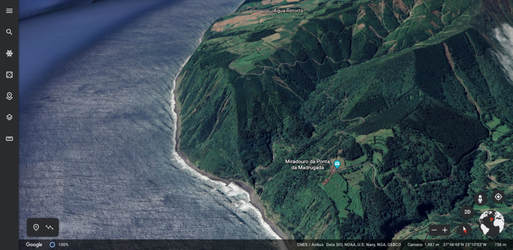
Here’s the exact same location on Google Earth. You can clearly see how steep the cliffs are. You can already think about how the sunlight will affect the terrain in advance. It’s also important to identify the best possible position for yourself to launch the drone and keep a good line of sight. And with some possible compositions in mind, you lose a lot less time flying around in the air ?
Nowadays I always find good drone spots with Google Earth. Even if you already ‘know’ the location, the 3D will always reveal some extra options.
Check here if you want to see all my drone photos from the Azores.